


Enhance Your Operations with High-Precision RTK Data Licenses!
Attain accuracy at the centimeter level and real-time positioning, improving global efficiency and connectivity through GNSS RTK solutions.
– or Learn More about us.


Achieve pinpoint accuracy down to 1-2 centimeters.

Benefit from a robust and reliable network that ensures high-quality data.
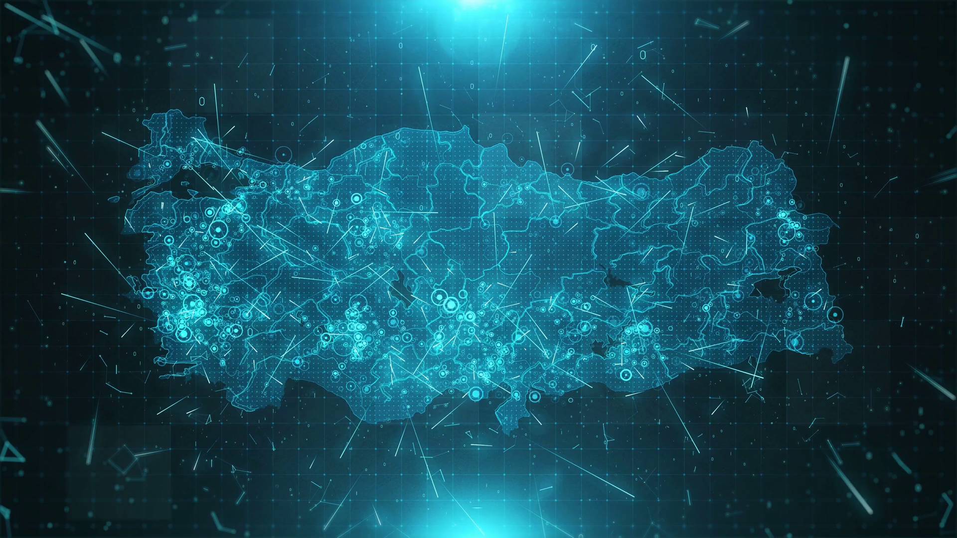
Access over 14,000 RTK stations spread across more than 140 countries.

Utilize its diverse applications across various industries.
Achieve Accuracy at Centimeter-Level
We deliver precise GNSS RTK data that enhances unparalleled accuracy, dependability, and efficiency across diverse industries. Our distributed network ensures real-time, centimeter-level accuracy for all your positioning requirements.

Precision and Dependability
Achieve real-time accuracy of 1-2 cm with less than 1-second delay, continuous 24/7 monitoring, and Precise Point Positioning.

Scope and Integration
Access over 10,000 RTK stations in more than 120 countries, seamlessly integrating with current equipment using RTCM3.2 and NTRIP protocols, compatible with GPS, GLONASS, Galileo, and BeiDou.

Cost-Effectiveness and Security
Benefit from a community-based, distributed network offering enhanced coverage and reliability, reduced expenses, and secure data integrity.
Explore our extensive network coverage, providing comprehensive solutions for enhanced connectivity and global reach.


Features

High Precision
RTK technology delivers accuracy at the 1-2 cm level, ensuring detailed and exact data for your projects

Immediate Data
Receive information with less than 1 second delay, ensuring smooth and uninterrupted operations.

Global Reach
Access a network of over 10,000 RTK stations spanning across more than 120 countries, providing extensive worldwide coverage.

Multi-Satellite System
Support multiple satellite systems (GPS, GLONASS, Galileo, BeiDou) and multi-frequency GNSS receivers.

Community-Based Network
Gain advantages from a network driven by the community for improved coverage and reliability.

Seamless Compatibility
Easily integrate our solutions with your current equipment using RTCM3.2 and NTRIP protocols.
Why proRTK


Centimeter-Level Accuracy
Achieve precise positioning down to a few centimeters

Real-Time Kinematic Data
Access real-time corrections for immediate accuracy

Cost-Efficient
Lower costs compared to traditional centralized GNSS services

Secure and Transparent
Blockchain technology ensures security and transparency

Multi-Constellation Support
Use signals from GPS, GLONASS, Galileo, and BeiDou

Decentralized Network
Benefit from a network for better coverage and reliabilit